
Westphalen, Reymann / Weimar Institut
330 PLN
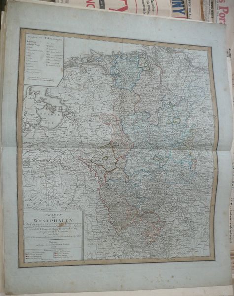
CHARTE von WESTPHALEN Nach den neuesten trigonometrischen Me∫sungen, astronomi∫chen Ortsbestimmungen und militairischen Aufnahmen des K.P. General Major Herr von Le Coq entworfen von D.G. Reymann im 1804 und nach den neuesten Veränderungen abgetheilt im Sep.t. 1806.
Weimar im Verlage des geographischen Instituts. 1806.
Map of Westphalen , comes from Allgemeiner Hand_atlas der ganzen Erde..., by A. Gaspari, published in Weimar, ca 1806 roku.
Original copperplate engraving, contemporary handcolor.
Map size: 53,5 x 46,5 cm .
Condition: visible fold, brown stain in the "cartouche", foxing