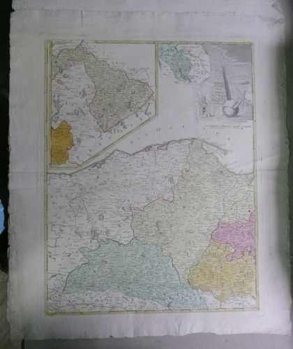
Prussia & Cassubia, Gussefeld, after 1780
2200 PLN
BORUSSIAE | OCCIDEN_ | TALIS | TABULA | a | Franc. Ludov. Gussefeld. | editio emandatior | Impensis Heredum | Homannianorum | 1780| C.P.S.C.M.
Map of the West Prussia(with Danzig, Cassubia region), region created after the 1st partition of Poland in 1773, used to illustrate atlasses by the Homann Heirs publishing house, Nuember after 1780.
Original copperplate engraving, contemporary handcolor.
Map size: 57 x 44,6 cm.
Reference: Jaeger E., Prussia-Karten 1542-1810, pos.200


