
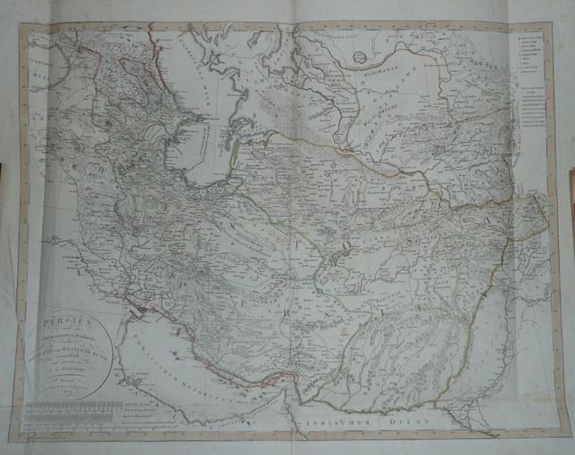
Persia, Reichard, 1804
Product not available
PERSIEN nach ſeinem neuesten Zuſtande in das OESTLICHE und WESTLICHE REICH eingetheilt und entworfen von C.G. REICHARD. Weimar Im Verlage des Geographischen Institus. 1804.
Map of Persia, comes from an atlas by A.Gaspari Allgemeiner Hand_atlas der ganzen Erde..., published by Geographisches Institut in Weimar ca 1806.
Original copperplate engraving, contemporary handcolor. Size of the map 51,8 x 67,4 cm..
Sheet folded several times, 3 small holes at crosses of folds. Small brown dots due to oxidation.
General condititon : good.
Price : 1330 PLN