
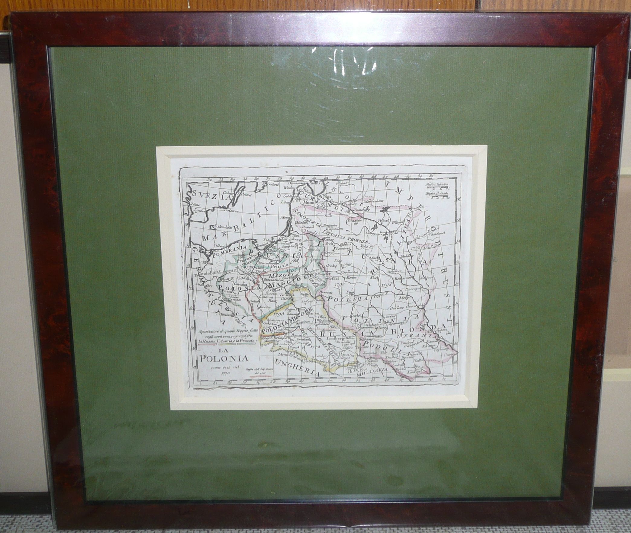
Olivieri-Poland, 1823
1220 PLN
LA POLONIA | come era nel | 1770
Above title description of colors used to mark the partitions o Poland: Spartizione di questo Regno...
Map comes from rare small atlas by Bernardino Olivieri Atlante Tascabile o sia Serie di Num. XXI Cartine Geografiche nelle quali si rappresenta in ristretto lo Stato attuale di tutte le parti del Globo Terrestre. , published in Rome in 1823 (first edition with just 16 maps from 1804).
Original copperplate engraving, contemporary outline color.
Map size 13,9 x 17,2 cm, framed (34 x 36 cm).