
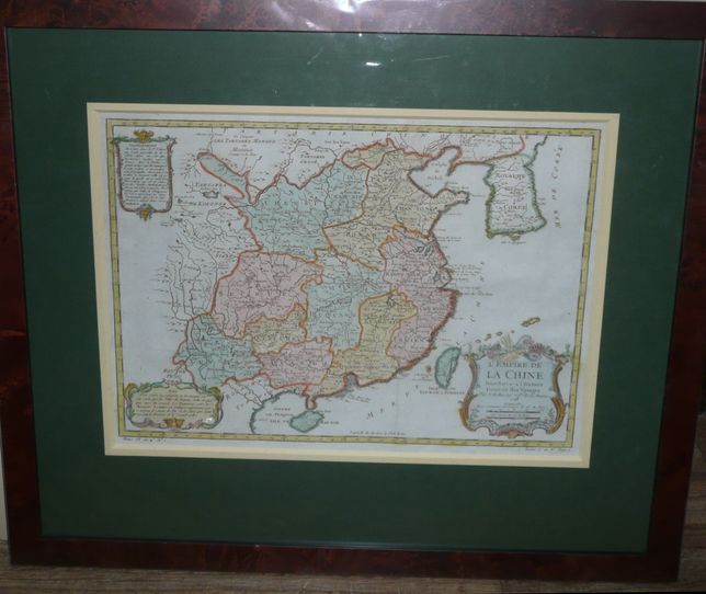
China by Bellin, XVIIth c.
1330 PLN
L’EMPIRE DE LA CHINE Pour Servir a l’Histoire Generale des Voyages Par N.Bellin Ingr ord.re de la Marine 1748In lower left corner: Tome VI. in 4o. No. 1
In lower right corner: Tome 7. In 8o. Page 1.
Map of China, comes from Atlas pour l’Abrege des Voyages par la Harpe, Paris, ca 1780.
Original copperplate engraving, colored, framed. Map size : 28,8 x 40,3 cm.